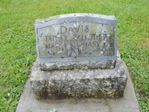
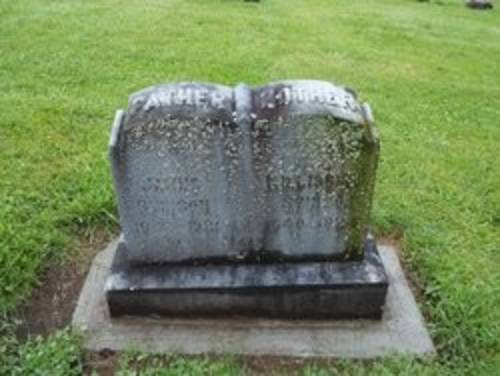
Doss Cemetery
Coleman Road
Mossyrock, Lewis County, Washington
Directions
From Highway 12, turn onto Williams Street, heading north. Make an immediate left onto Coleman Road, heading up the hill, and follow the curve to the right. The cemetery is on the right after the curve.
History
The town of Mossy Rock, with its roots dating back to 1852, is named after a 200-foot-high rock covered in moss located at the east end of Klickitat Prairie. This unique feature, the moss-covered rock, not only gives the town its name but also serves as a historical landmark. Originally a trading post along the Cowlitz River, it was referred to as Coulph by the local Native Americans. The cemetery, a part of our rich history, was created in 1908 on an 8-acre plot and includes a few bodies that were relocated from the old Riffe Cemetery. Unlike traditional cemeteries, there are no designated plots; instead, graves are arranged in rows. For records, please get in touch with Helen Butain at 152 Schoonover Road, Mossyrock, WA 98564.
The original site of Riffe Cemetery is now submerged under the Riffe Lake reservoir, which was created when the Mossyrock Dam was built. Before the dam’s completion in 1968, most graves were relocated to Doss Cemetery in Mossyrock, while others were moved to cemeteries in Lewis County and the surrounding areas. Although the original cemetery records were destroyed in a fire around 1900, some records can still be found at the Chehalis Timberland Library and the Lewis County Historical Museum.
Additional information
Riffe Cemetery - Relocated Markers
Visit the Doss Cemetery Website
